NOTE: NewsPlus will only be posting an Evening Update from this point forward. We will continue to update our Facebook page through the day as necessary.
SEPTEMBER 27, 2020 – BOBCAT FIRE EVENING UPDATE 8:00 PM: The Bobcat fire has now burned 114,103 acres, burning about 21 acres since last night and is now at 65% containment. There were 1,363 personnel on the fire, 119 engines, 27 hand crews, 14 helicopters, 13 dozers, and 13 water tenders working on the fire today.
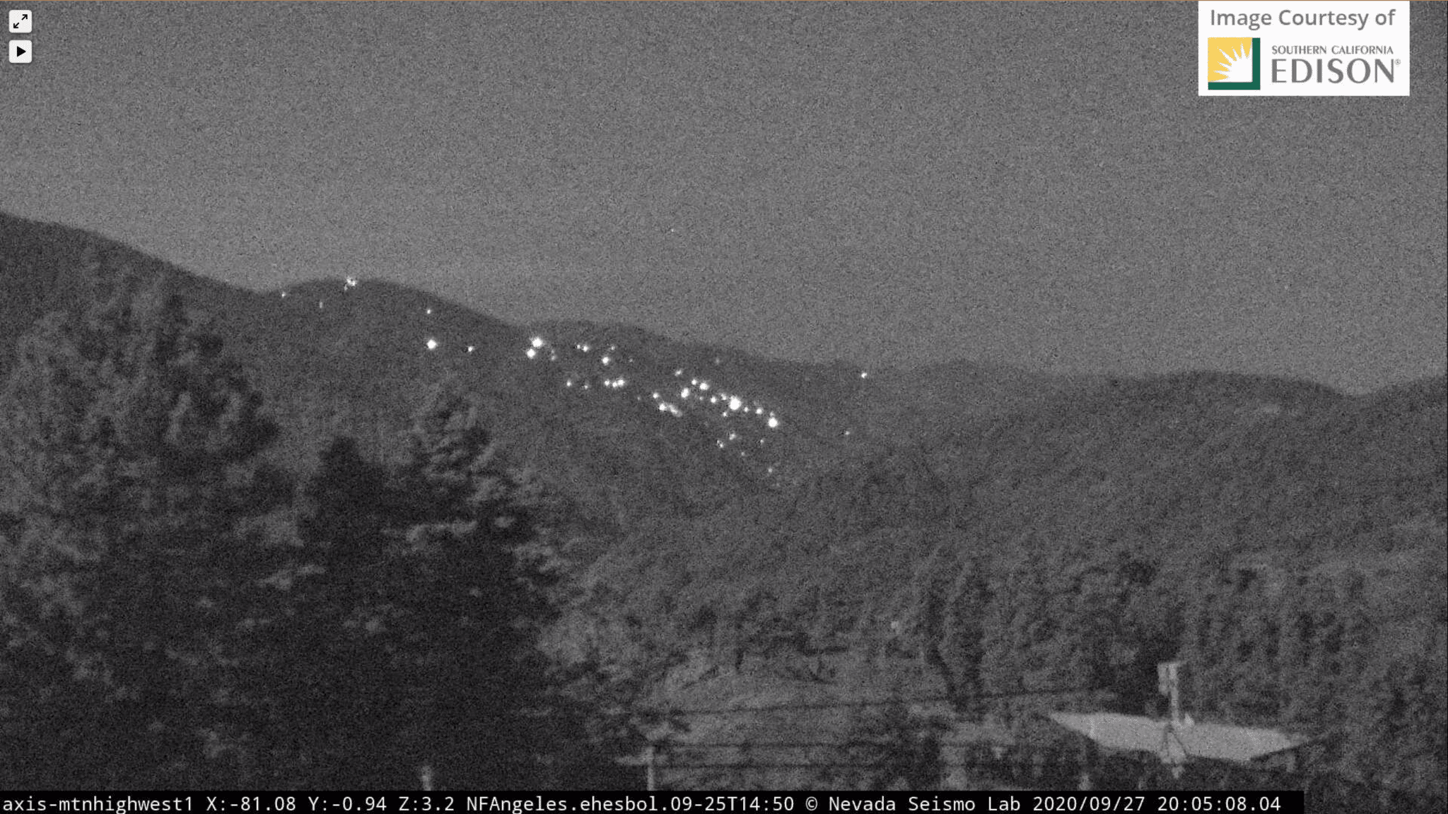
Today was much of the same as yesterday. Mt. Lews continues to be an active area, with crews working to stop the forward rate of spread.
Tonight crews will be working to build on existing containment lines, mop-up, and monitor the fire’s perimeter. Crews will continue to work in the Mt. Lewis area to keep the fire south of Highway 2.
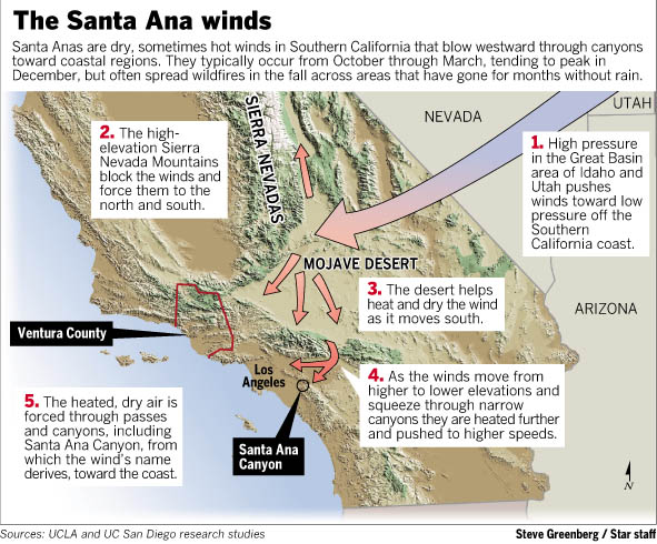
Santa Ana wind conditions are forecasted to begin early Monday morning around 5:00 am. Winds will shift, bringing strong east to northeast winds (blowing to the west) through the afternoon. These gusty winds will combine with very low humidity and higher temperatures to produce a period of critical fire weather conditions resulting in a red flag warning Monday between 5:00 am and 5:00 pm.
There were no repopulation orders or lifting of any orders today.
The fire season has only just begun, the Santa Ana’s haven’t officially started yet. A wildfire could erupt at any moment, so please, as they say, “keep an eye out” and know what to do if it happens near you. Successfully preparing for a wildfire requires you to take personal responsibility for protecting yourself, your family, and your property. Visit the SBC Fire website for more information about how you can be prepared. All San Bernardino County residents are encouraged to sign up for the TENS alert system to get notifications via phone/text or to download the Ready SB App.
EVACUATION ORDERS:
• Paradise Springs – South of Big Pines Highway, east of Devil’s Punchbowl, west of Largo Vista Road, and north of the forest.
• South and west of Upper Big Tujunga Canyon, east of Angeles Forest Highway, and north of Angeles Crest Highway.
• Residences along Angeles Crest Highway, between Angeles Forest Highway and Highway 39.
EVACUATION WARNINGS:
• South of Big Pines Highway, east of Largo Vista Road, west of 263rd Street E (County line), and north of the forest.
• South of Mount Emma Road, north of Upper Big Tujunga Canyon, east of Angeles Forest Highway, and west of Pacifico Mountain.
• East Fork Areas: Julius Klein Conservation Camp 19, Camp Williams, and the River Community.
• Unincorporated community of Wrightwood.