NOTE: NewsPlus will only be posting an Evening Update from this point forward. We will continue to update our Facebook page through the day as necessary.
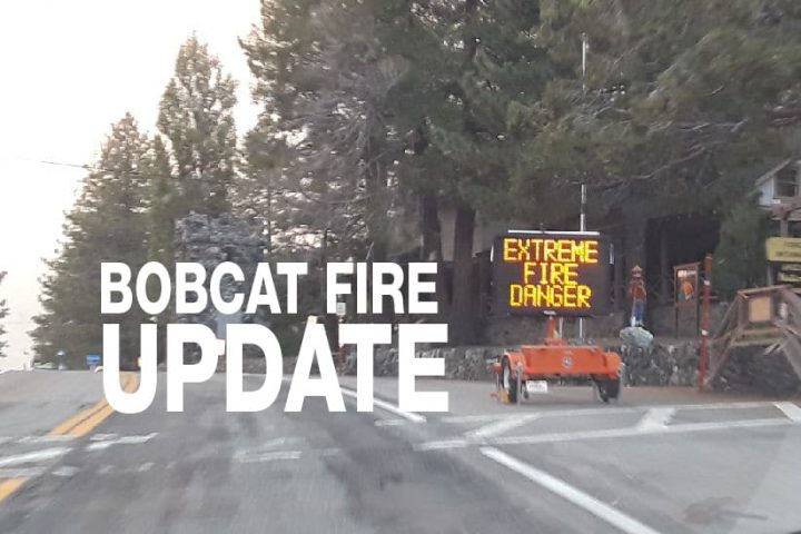
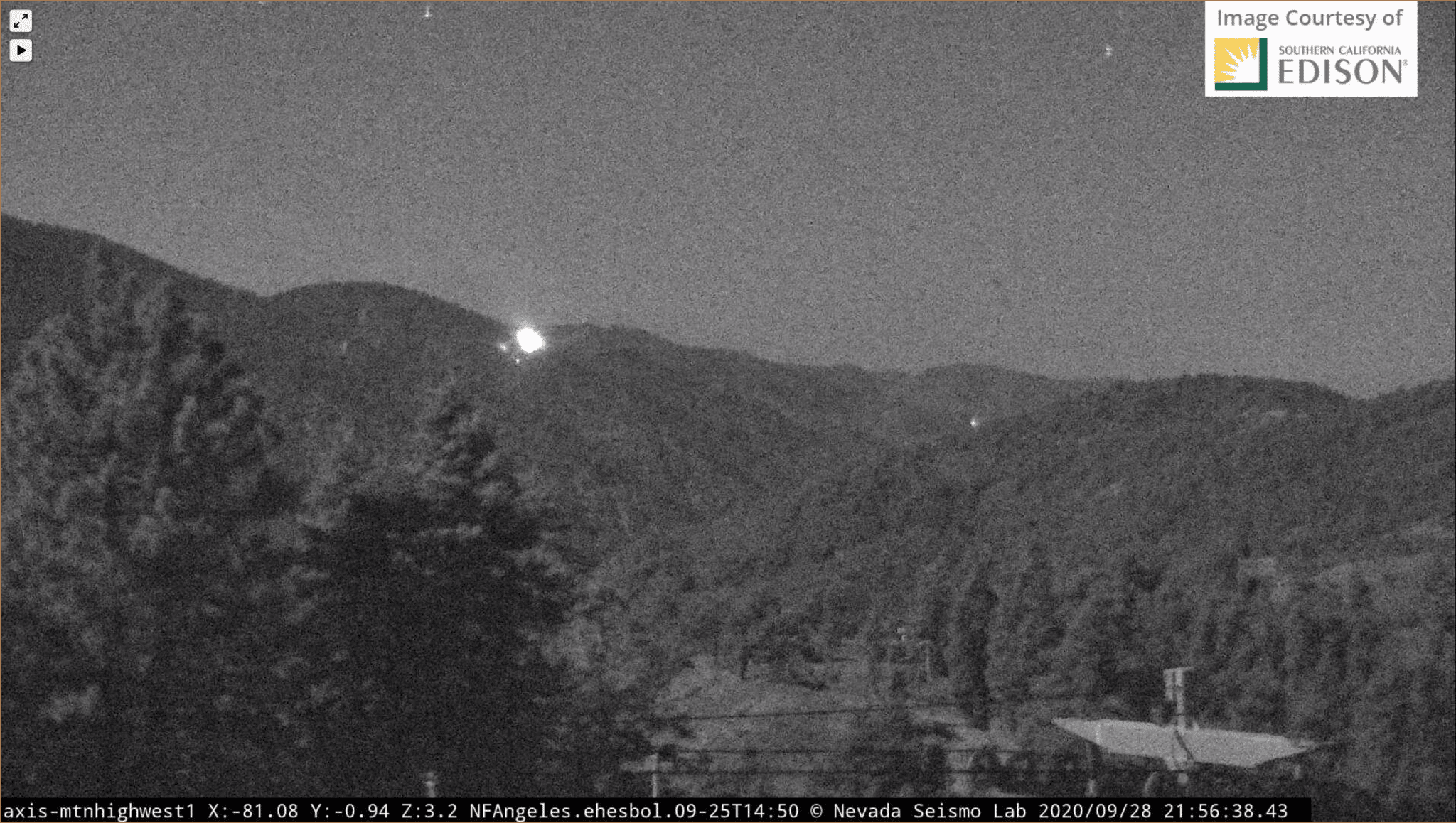
SEPTEMBER 28, 2020 – BOBCAT FIRE EVENING UPDATE 9:00 PM: The Bobcat fire has now burned 114,202 acres, burning about 100 acres since last night and is now at 63% containment. There was 1,363 personnel on the fire, 119 engines, 23 hand crews, 14 helicopters, 13 dozers, and 13 water tenders working on the fire today.
Today’s main objective was to strengthen containment lines, monitor for spot fires, and look for opportunities to fight the fire directly. Crews continued to patrol, monitor, and clean up in the Pinyon Ridge area to secure containment lines. In the Manzanita Trial area (just south of Big Rock Creek), crews were able to fight the fire directly alongside aerial operations and continued to monitor the fire.
Tonight crews will “continue to actively monitor and patrol containment lines searching out heat along the perimeter. Patrols will conduct smoke checks near communities to assure safety. Fire crews will also work to strengthen contingency lines in preparation for wind events across the fire tonight.”
The weather forecast is for moderate northeast winds 20-30mph, which will continue to impact the upper elevations and ridgetops tonight before diminishing Tuesday morning. A large area of high pressure will expand over the west and bring an extended period of hot and dry conditions. Above-average temperatures and single-digit humidity are expected over the next four days. A heat advisory has been issued from 10:00 am Tuesday until 8:00 pm Thursday over the Bobcat Fire.
Another fire started today at approximately 3:00 pm in the Angeles National Forest southwest of Action near Bouquet Reservoir. The Martindale Fire is currently reported to have burned 230 acres and is 20% contained. Today there are 27 major wildfires across the State of California. There are over 18,000 firefighters battling these fires. Since the beginning of the year, there have been over 8,100 wildfires that have burned over 3.7 million acres of California. California’s fire activity increased on August 15, there have been 26 fatalities and over 7,000 structures destroyed. Yesterday the Zogg Fire started in Shasta County southwest of Redding and as of this morning the fire had burned 15,000, is 0% contained, and evacuations orders had been issued. Also yesterday, the Glass Fire erupted in Napa County, just 4 miles east of Calistoga, and has already burned 11,000 acres is 0% contained with evacuations orders in effect and additional evacuations happening. Just like Southern California, Northern California is under a Red Flag Warning with gust winds expected with warm and dry conditions predicted for the rest of the week.
The fire season has only just begun, the Santa Ana’s haven’t officially started yet. A wildfire could erupt at any moment, so please, as they say, “keep an eye out” and know what to do if it happens near you. Successfully preparing for a wildfire requires you to take personal responsibility for protecting yourself, your family, and your property. Visit the SBC Fire website for more information about how you can be prepared. All San Bernardino County residents are encouraged to sign up for the TENS alert system to get notifications via phone/text or to download the Ready SB App.
On the Bobcat Fire, there was no repopulation or lifting of any warnings today. All orders remain the same as yesterday.
EVACUATION ORDERS:
• Paradise Springs – South of Big Pines Highway, east of Devil’s Punchbowl, west of Largo Vista Road, and north of the forest.
• South and west of Upper Big Tujunga Canyon, east of Angeles Forest Highway, and north of Angeles Crest Highway.
• Residences along Angeles Crest Highway, between Angeles Forest Highway and Highway 39.
EVACUATION WARNINGS:
• South of Big Pines Highway, east of Largo Vista Road, west of 263rd Street E (County line), and north of the forest.
• South of Mount Emma Road, north of Upper Big Tujunga Canyon, east of Angeles Forest Highway, and west of Pacifico Mountain.
• East Fork Areas: Julius Klein Conservation Camp 19, Camp Williams, and the River Community.
• Unincorporated community of Wrightwood.