NOTE: NewsPlus will plan on posting two updates an AM and PM update to our website and more if needed. Please follow our Facebook page for any timely updates throughout the day.
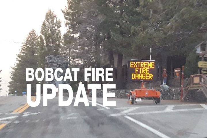
SEPTEMBER 25, 2020 – BOBCAT FIRE MORNING UPDATE 10:00 AM: The Bobcat fire has now burned 113,986 acres, burning zero acres today and is now at 55% containment.
Last night crews continued to mop-up around structures, look for hot spots, and secure perimeter fire lines. Crews are also continuing to work on a perimeter or containment line that will reach from Little Rock Reservoir south to Chilao.
Dave Corbin, SBC Fire Assistant Chief Divison 5, has been assigned to the Bobcat Fire and posted this letter to the Wrightwoodcalif forum last night with some more details about the work being done on Mt. Lewis and contingency plans concerning the Wrightwood area:
“My name is Dave Corbin, I am the San Bernardino County Fire Assistant Chief overseeing Division 5, including Wrightwood. I wanted to take a moment to make introductions and give you an update on the Bobcat Fire. First and most important, an update on the fire: activity along Big Pines Hwy in the area of Largo Vista is looking very good. This area was of great concern to us Thursday night through Saturday evening as the rapid spread posed a real concern for Wrightwood. The fireline in this area is now mostly contained. The fire is continuing to slowly back down the eastern slope of Mt. Lewis. Multiple contingency lines have been put in place including a retardant line from above Hwy 2 east of Dawson Saddle that extends to Big Rock Creek. This line was reinforced with a fire line cut in by hand crews, who also extended a hose line to the bottom. A dozer line has been placed from Vincent Gap to the top of Pinion Ridge. Sb County dozers are additionally constructing a dozer line from Blue Ridge, up behind Mountain High West. I am cautiously optimistic that the community is safe, but we cannot let our guard down. High heat, low Relative Humidity, and a possible mild Santa Ana Wind event are forecasted for this weekend into next week. SB County Fire currently has two Strike Teams positioned in the area including 10 fire engines and 2 Battalion Chiefs. We are also inserted into the Command Post with an Agency Representative as well as myself positioned in the community And coordinating with our assisting fire agencies. Once again, I believe things look good but we have much work to do in preparation for the upcoming weather change.”
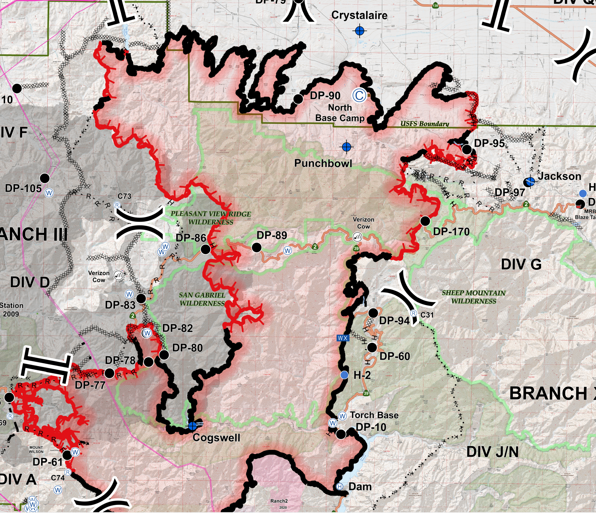
Crews will continue to build and fortify the fire lines around the Mt. Wilson area and between Highway 2 and Big Rock Creek. Strategic firing operations are planned and will help “secure the perimeter of the fire from fire making a run at the fire lines from unburned fuels within,” said Incident Command in their morning report. Water dropping choppers are currently working in the Pinyon Ridge area and on the east side of Mt. Lewis in Dorr Canyon, below Highway 2. “Crews, engines, equipment and aircraft work in coordination to build holding lines, plumb the likes with water, and while firing aviation assets slow the movement of the main fire.” Today and tomorrow, the focus will be to finish containment lines, direct lines, and indirect lines along the west side of the fire as winds are expected to shift to the northeast on Sunday. The Los Angeles County Occupancy department is assisting with repopulation efforts.
Weather is expected to remain warm with afternoon winds with increased humidity. Tomorrow high pressure is likely to move in, which will cause increased temperatures and drying. “Near-record” temperatures and critically low humidity are predicted through the week with breezy winds from the northeast.
The fire season has only just begun, the Santa Ana’s haven’t officially started yet. A wildfire could erupt at any moment, so please, as they say, “keep an eye out” and know what to do if it happens near you. Successfully preparing for a wildfire requires you to take personal responsibility for protecting yourself, your family, and your property. Visit the SBC Fire website for more information about how you can be prepared. All San Bernardino County residents are encouraged to sign up for the TENS alert system to get notifications via phone/text or to download the Ready SB App.
EVACUATION ORDERS
- South of Fort Tejon Road and E. Avenue W-14, east of 87th Street E., west of 165th Street E, and north of the forest.
- South of Highway 138, east of 165th Street E., west of Largo Vista Road., and north of the forest.
- South and west of Upper Big Tujunga Canyon, east of Angeles Forest Highway, and North of Angeles Crest Highway
- Residences along Angeles Crest Highway, between Angeles Forest Highway and Highway 39.
EVACUATION WARNINGS
- North of Fort Tejon Road, east of 87th Street E., west of 121st Street E., and south of Avenue V.
- South of Highway 138, east of 121st Street E., west of 165th Street E., and north of Fort Tejon Road and E. Avenue W-14.
- South of Highway 138, east of Largo Vista Road, west of 263rd Street E. (county line), and north of the forest.
- South of Highway 138, north of Weber Ranch Road, east of Cheseboro Road, and west of 87th Street E.
- South of Pearblossom Highway, south and east of Highway 122 (Sierra Hwy/Pearblossom), north and west of Mount Emma Road, west of Cheseboro Road, north and east of Angeles Forest Highway.
- South of Mt. Emma Rd., North of Upper Big Tujunga Canyon Rd., East of Angeles Forest Highway, and West of Pacifico Mountain East Fork Areas: Julius Klein Conservation Camp 19, Camp Williams, and the River Community.
- The unincorporated community of Wrightwood in LA County.
- Wrightwood and Pinon Hills in San Bernardino County.