NOTE: Starting on 9/26/20, NewsPlus will only be posting an Evening Update. We will continue to update our Facebook page through the day as necessary.
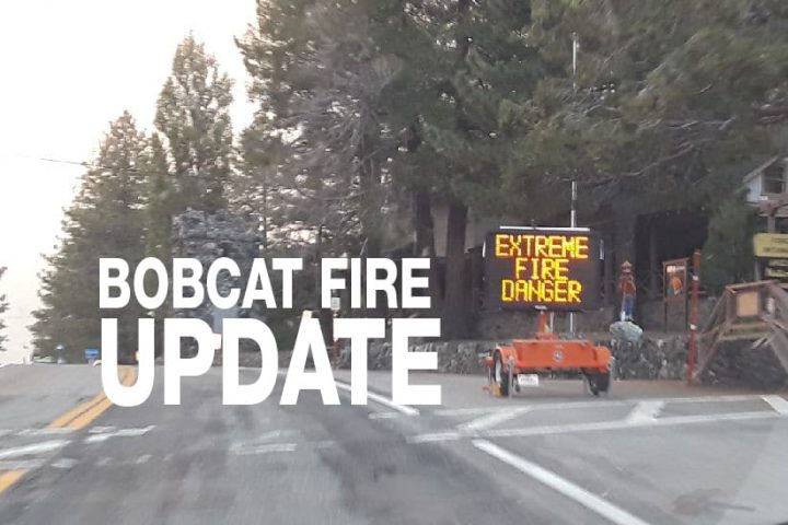
SEPTEMBER 25, 2020 – BOBCAT FIRE EVENING UPDATE 8:00 PM: The Bobcat fire has now burned 113,986 acres, burning zero acres today and remains at 55% containment. There was 1,554 personnel on the fire, 147 engines, 27 hand crews, 15 helicopters, 21 dozers, and 12 water tenders working on the fire today.
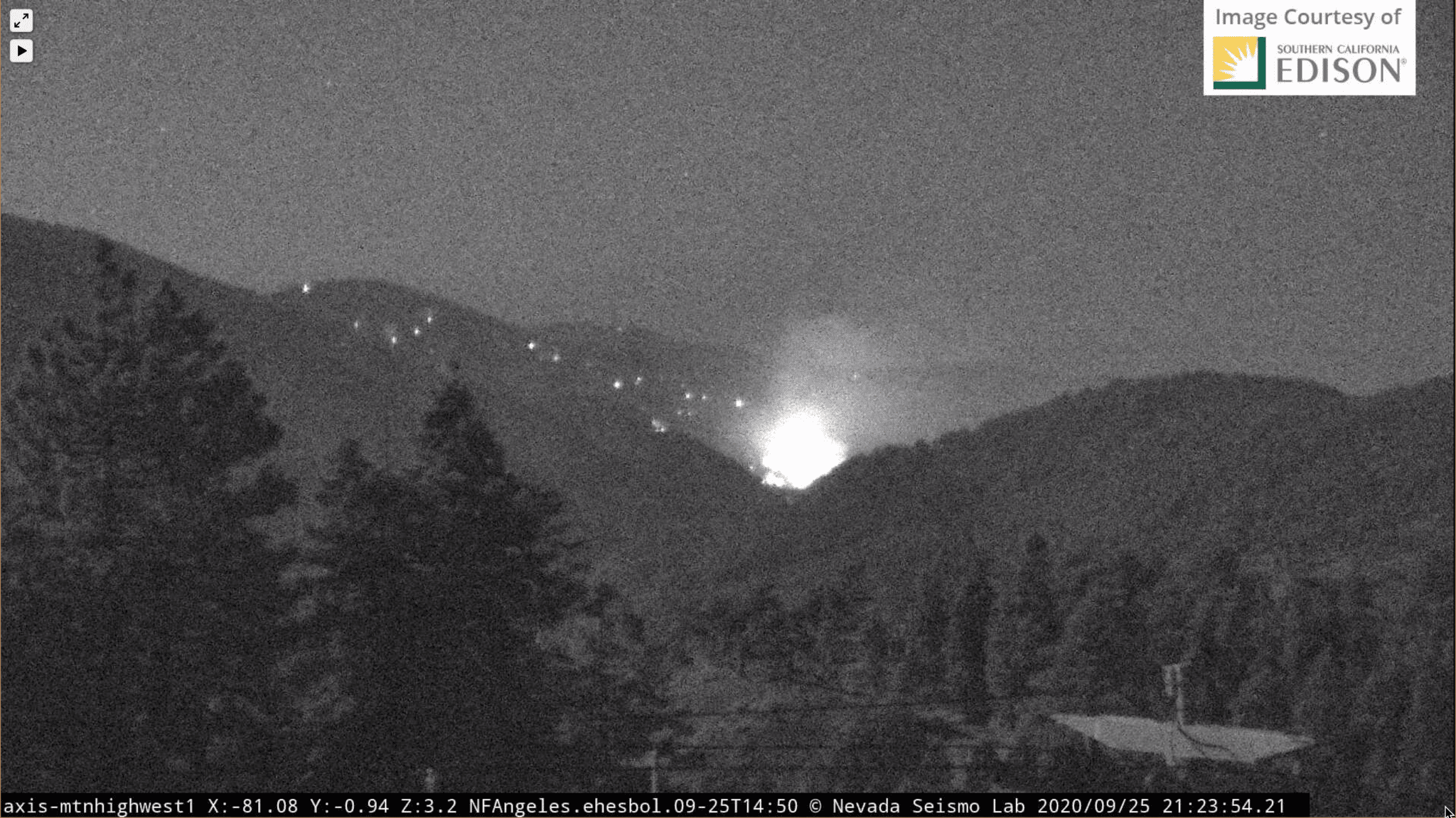
The fire was active today in the northeast; crews continued work on Pinyon Ridge as the fire backed its way down the north slope of Mt. Lewis towards Manzanita Trail in Big Rock Canyon. Just to the east of Big Rock Canyon in Dorr Canyon, the fire also continued to be active with short runs and flare-ups. Crews were in there all day, choppers were dropping water, and air tankers were laying retardant lines. They are also looking for strategic firing opportunities in the area near Big Rock Creek Road and the Manzanita Trail. Many evacuated areas have reopened, but some closures remain in effect.
Incident Command is reporting that tonight “crews will mop-up and patrol the perimeter of the fire and monitor and extinguish any hot spots that may remain. Priority areas are Mt. Wilson to Highway 2, Dorr Canyon, and Big Rock Creek Rd. where crews will continue to monitor containment lines, ensuring the fire does not cross any lines in preparation for moderate Santa Ana winds expected early next week.” Crews are in Paradise Springs, prepping for structure protection and to hold the fire if necessary. Overnight crews will monitor the Mt. Lewis area to ensure it doesn’t cross over Highway 2. Residents will continue to see smoke from burning islands within perimeters. Engines will remain available in the north for smoke checks near communities.
Today’s weather was warm and very dry, with low humidity and temperatures in the 80s. Early next week, the area will see above normal temperatures and critically low humidity. Winds will shift to the east-northeast beginning Sunday, with the potential for a Santa Ana wind event.
Throughout these articles, you have heard the term “mop-up,” when crews patrol and “mop-up,” they are looking for places where they can make the fire safe or reduce residual smoke after a fire has been controlled by extinguishing or removing burning material along or near the control line, felling snags, or moving logs so they won’t roll downhill and cause a “spot fire.” A “spot fire” occurs when flying sparks, embers, or when rolling logs or debris ignites a fire outside of the perimeter of the main fire. You may have also heard of the term “Slop-over.” “Slop-over” occurs when the fire crosses over a control line or natural barrier intended to contain the fire.
The fire season has only just begun, the Santa Ana’s haven’t officially started yet. A wildfire could erupt at any moment, so please, as they say, “keep an eye out” and know what to do if it happens near you. Successfully preparing for a wildfire requires you to take personal responsibility for protecting yourself, your family, and your property. Visit the SBC Fire website for more information about how you can be prepared. All San Bernardino County residents are encouraged to sign up for the TENS alert system to get notifications via phone/text or to download the Ready SB App.
**** UPDATE 9/26/20 ****
EVACUATION WARNINGS have been LIFTED for PINON HILLS as of 8:00 AM Saturday, September 26, 2020. However, as of this time, Wrightwood still remains in an evacuation warning.
EVACUATION ORDERS
- South of Highway Big Pines Highway, east of Devil’s Punchbowls, west of Largo Vista Road., and north of the forest.
- South and west of Upper Big Tujunga Canyon, east of Angeles Forest Highway, and North of Angeles Crest Highway.
- Residences along Angeles Crest Highway, between Angeles Forest Highway and Highway 39.
EVACUATION WARNINGS
- South of Fort Tejon Road and E. Avenue W-14, east of 87th Street E., west of 165th Street E and Devil’s Punchbowl, and north of the forest and Big Pines Highway.
- South of Highway 138, east of 165th Street E., west of Largo Vista Road, and north of Big Pines Highway.
- South of Big Pines Highway, east of Largo Vista Road, west of 263rd Street E. (county line), and north of the forest.
- South of Highway 138, north of Weber Ranch Road, east of Cheseboro Road, and west of 87th Street E.
- South of Pearblossom Highway, south and east of Highway 122 (Sierra Hwy/Pearblossom), north and west of Mount Emma Road, west of Cheseboro Road, north and east of Angeles Forest Highway.
- South of Mt. Emma Rd., North of Upper Big Tujunga Canyon Rd., East of Angeles Forest Highway, and West of Pacifico Mountain.
- East Fork Areas: Julius Klein Conservation Camp 19, Camp Williams, and the River Community.
- Unincorporated communities of Wrightwood and Pinon Hills.