- SEPTEMBER 19, 2020 AM Update can be found here: “Bobcat Fire (9/19/20) Morning Update; 91,017 Acres Burned & 15% Contained“
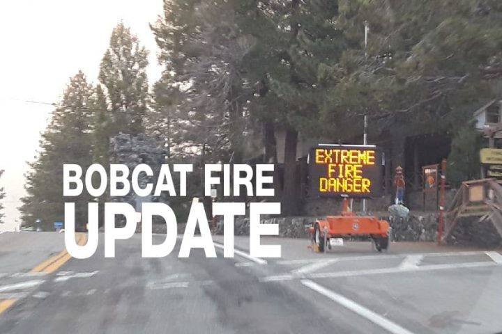
SEPTEMBER 18, 2020 – BOBCAT FIRE UPDATE 9:00 PM: The Bobcat grew to 72,757 acres, 12,000 acres in one day, and is 15% contained. As of 8:30 pm Incident Command is reporting that portions of the fire are about 5 miles away from Big Pines and about 8 miles away from Wrightwood, and is projecting that “these communities could be impacted very soon.” Residents should be vigilant and ready to evacuate should the order be issued. Incident command is also projecting that there will be very poor humidity recovery, especially in higher elevation, and warm overnight temperatures which will allow the fire to burn actively through the night.
Today the fire continued to spot ahead due to high winds (over 44 mph) which also caused the fire to burn erratically. The fire moved past Devils Punchbowl, jumped Big Rock Creek Road near Fenner Camp, and jumped Big Pines Highway as it moved towards Valyermo pushing through to the desert floor in the Antelope Valley towards the communities of Largo Vista, Valyermo, and Juniper Hills.
At one point a strike team had to retreat and take refuge in “Old Station 79” and old LA County Fire Station located about 1/2 mile west of the current Forest Service Fire station in Valyermo. What this means is that they were unable to escape the fire and decided to hold up in the old fire station as the fire passed them by. At about 4:15 pm fire was reported behind the Post Office on Valyermo road. During the peak of the firefight, ten air tankers had been tasked to the north end of the fire to help protect structures near the Juniper Hills area of the fire. Because of poor visability from smoke on the desert floor, air support was unable to be utilized for most of the day. Once the smoke cleared in the mid to late afternoon ten air tankers were used for structure protection. Tankers were using so much Phos-Chek that they were asked to refill at Mojave Airport because the San Bernardino refueling site was running low. One firefighter reported a five-mile fire line near Fort Tejon Road in Juniper Hills.
The fire also pushed up the canyon along Big Rock Creek Road and Big Pines Highway to around Mile High (not Mountain High) and further east towards Jackson Lake.
Fire crews trying to get to the east side of the fire were unable to get there from the Antelope Valley and had to reroute through Phelan to Wrightwood. They also staged in the Mountain High Parking Lot. Mountain High began using their snowmaking equipment to wet down their ski slopes in advance of the possibility of the fire reaching the resort.
In the evening, the winds died down which in turn calmed the spread of the fire. However, winds are expected to pick up beginning Saturday morning. Evacuation Orders were issued for the following areas:
- North of Angeles Crest NOrth and between Clear Creek Station and Highway 39.
- Juniper Hills
- Devils Punchbowl
- Paradise Springs
- The area East of Devils Punchbowl Rd, South of Big Pines Highway, North of Big Rock Creek, and west of Jackson Lake.
Evacuation Warnings remain in effect for the communities of:
- Wrightwood (issued by both LA County and San Bernardino County)
- Pinon Hills (issued by San Bernardino County)
- Monrovia
- Bradbury
- Sierra Madre
- Arcadia
- Altadena
- Duarte
- Pasadena
- and residents north of foothill Blvd and east of Santa Anita Ave.