NOTE: NewsPlus will plan on posting two updates an AM and PM update to our website and more if needed. Please follow our Facebook page for any timely updates throughout the day.
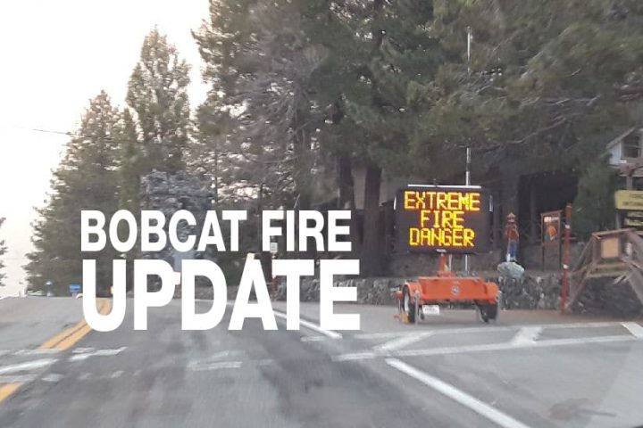
SEPTEMBER 24, 2020 – BOBCAT FIRE Evening UPDATE 9:00 PM: The Bobcat fire has now burned 113,986 acres, burning zero acres today and remains at 50% containment. There were 1,575 personnel on the fire, 170 engines, 25 hand crews, 11 helicopters, 19 dozers, 10 water tenders, and several helicopters working on the fire today.
Today on the Bobcat Fire there were a few spots of fire activity where crews are monitoring. Crews continued to mop-up and patrol along Pinyon Ridge. Crews are continuing to locate alternative locations for line to be constructed from Big Rock Creek to Highway 2. In the Antelope Valley, crews continue to secure line and mop-up around structures. Residents in this area may see flames and smoke from isolated portions of fire activity, mostly in internal areas of the fire area. At about 9:00 pm residents near Fort Tejon Road and Mt. Emma Road reported a couple of spots where they could see flames, fire crews were dispatched to monitor and mop-up. The fire is still burning in Dorr Canyon to the east of Mt. Lewis and south of Big Rock Creek, choppers could be seen dropping water on the area for most of the day. A visual from Phelan at about 6:00 pm, I could see a small header of smoke rising from that area. But for most of the day, the desert was smokey, hazy and air quality was poor.
Evacuation warnings were lifted for Pasadena and Altadena. Repopulation orders were issued for the East Fork area including Julius Klein Conservation Camp 19, Camp Williams, and The River Community Areas. In the Antelope Valley, repopulation orders were issued for the Clear, Sand, and Ward areas. The Sand Area is nearest to Pinon Hills, North of Big Pines Highway/Highway 2, South of Highway 138, east of Largo Vista Road, and west of 263rd Street. The southwestern region of the Sand Area may have power outages. Additionally, Los Angeles County Occupancy support was on hand to assist with the repopulation of the Sand, Clear, and Ward areas.
Los Angeles County has issued these orders for communities within the county. Several days ago San Bernardino County issued an Evacuation Warning for Pinon Hills and Wrightwood. As of tonight those orders still stand. San Bernardino County has not lifted any orders.
Tonight crew “will work on holding and improving containment lines while securing the perimeter of the fire for hot spots and mop-up around structures,” according to Incident Command. “Crews and engines will continue to build line on the western perimeter from north perimeter south to the area near Chilao. Engines will also be available for smoke checks on the northern perimeter near Antelope Valley communities.”
“Weather conditions were warm and dry today. Ridgetop winds varied from the south to west, with afternoon gusts into the 15-25 mph range. Slightly cooler temperatures and slightly higher humidity is forecasted for Friday. On Saturday, strengthening high pressure will bring a stout warming and drying trend,” according to Incident Command.
The fire is currently 50% contained and this number will likely increase by tomorrow morning. Containment can be a confusing term for those not in the know. Containment doesn’t mean how much of the fire has been extinguished. Cal Fire defines containment as “a fire that is surrounded on all sides by some kind of boundary but is still burning and has the potential to jump a boundary line. The boundary may be a ‘fire line’ which is a strip of area where the vegetation has been removed to deny the fire fuel, or a river, a freeway or some other barrier that is expected to stop the fire. Hose lines from fire engines may also contribute to a fire being surrounded and contained. Currently, the Bobcat fire is 50% contained which means there is some kind of fire line around 50% of the fire.
Even though a fire maybe 100% contained it doesn’t mean it is controlled. Crews will continue to patrol and mop-up within the fire lines until there is no further threat of it jumping a containment line at which point the fire will be controlled.
The fire season has only just begun, the Santa Ana’s haven’t officially started yet. A wildfire could erupt at any moment, so please, as they say, “keep an eye out” and know what to do if it happens near you. Successfully preparing for a wildfire requires you to take personal responsibility for protecting yourself, your family, and your property. Visit the SBC Fire website for more information about how you can be prepared. All San Bernardino County residents are encouraged to sign up for the TENS alert system to get notifications via phone/text or to download the Ready SB App.
EVACUATION ORDERS
- South of Fort Tejon Road and E. Avenue W-14, east of 87th Street E., west of 165th Street E, and north of the forest.
- South of Highway 138, east of 165th Street E., west of Largo Vista Road., and north of the forest.
- South and west of Upper Big Tujunga Canyon, east of Angeles Forest Highway, and North of Angeles Crest Highway
- Residences along Angeles Crest Highway, between Angeles Forest Highway and Highway 39.
EVACUATION WARNINGS
- North of Fort Tejon Road, east of 87th Street E., west of 121st Street E., and south of Avenue V.
- South of Highway 138, east of 121st Street E., west of 165th Street E., and north of Fort Tejon Road and E. Avenue W-14.
- South of Highway 138, east of Largo Vista Road, west of 263rd Street E. (county line), and north of the forest.
- South of Highway 138, north of Weber Ranch Road, east of Cheseboro Road, and west of 87th Street E.
- South of Pearblossom Highway, south and east of Highway 122 (Sierra Hwy/Pearblossom), north
- and west of Mount Emma Road, west of Cheseboro Road, north and east of Angeles Forest Highway.
- South of Mt. Emma Rd., North of Upper Big Tujunga Canyon Rd., East of Angeles Forest Highway, and West of Pacifico Mountain
- East Fork Areas: Julius Klein Conservation Camp 19, Camp Williams, and the River Community area.
- The unincorporated community of Wrightwood in LA County.
- Wrightwood and Pinon Hills in San Bernardino County.