NOTE: NewsPlus will plan on posting two updates an AM and PM update to our website and more if needed. Please follow our Facebook page for any timely updates throughout the day.
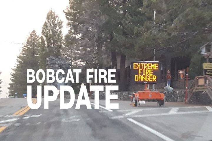
SEPTEMBER 23, 2020 – BOBCAT FIRE Morning UPDATE 10:00 AM: The Bobcat fire has now burned 113,307 acres, burning almost 4,000 acres today and is now at 38% containment.
Yesterday fire activity was quiet and crews focused on building containment lines, direct fire lines, and indirect fire lines. This is why there is a significant increase, doubled from yesterday, in the percent of the fire contained. On the north side, a major part of the fire which moved down to the desert floor was classified as contained. Containment is basically the north face of the fire between the areas of Largo Vista and Long View. Containment means that a control line has been completed around a fire that can reasonably stop the fire’s spread.

Crews were working hard in the Pinyon Ridge area, a dozer line was completed along the ridgeline and towards Big Pines Highway to keep the fire from advancing down towards Big Rock Creek and any further east. Additional dozer lines have been completed east of Largo Vista to stop any further spread down to the desert floor and east towards Pinon Hills.
Today Incident Command has stated the focus will be on the northeastern side of the fire along Highway 2 and the desert floor. Crews have been working construct a direct line between Highway2, near Dawson’s Saddle towards Big Rock Creek Road. If this is not possible they will prepare for strategic firing along highway 2 to stop the fire from advancing towards Wrightwood. Crews will be working in the Big Pines/Big Rock Creek/Fenner area building indirect and direct lines to protect any structures in the area. Crews will also be working on indirect and direct fire lines to keep the fire from moving east and, if needed, to provide structure defense within the communities of Big Rock Creek Road towards Mountain High.
Today’s weather according to Incident Command will be “slightly warmer with humidity dropping into the teens. Winds will be lighter and out of the southwest to the west today and shifting to the northwest tonight. On Saturday, a significant warming and drying trend will begin, with the possibility of gusty northeast winds.”
All San Bernardino County residents are encouraged to sign up for the TENS alert system to get notifications via phone/text or to download the Ready SB App.
Evacuation Orders:
- South and West of Upper Big Tujunga.
- East of Angeles Forest Hwy.
- North of Angeles Crest Hwy.
- Residences along Angeles Crest Highway, between Angeles Forest Highway and Highway 39. – The unincorporated areas of Juniper Hills, Devils Punch Bowl, and Paradise Springs.
- The unincorporated areas of Crystal Lake, East Fork of the San Gabriel River, and Camp Williams.
- South of Hwy 138, North of Big Rock Creek, East of 87th St East, and West of Largo Vista Rd.
- South of 138th St. East, North of Big Pine Hwy and Hwy 2, East of Largo Vista Rd., and West of 263rd St. East. – South of Hwy 138, North of East Ave W-14, East of 155th St East, and West of 165th St. East.
Evacuation Warnings:
- City of Pasadena
- Unincorporated communities of Altadena, Pinon Hills, and Wrightwood.
- South of Pearblossom Hwy, East and North of Angeles Forest Hwy, North and West of Mt. Emma Rd., East and South of Hwy 122, and West of Cheseboro Rd.
- South of Hwy 2, North of Blue Ridge Truck Trail, East of Hwy 39, and West of the Los Angeles Co. border.
- South of Ave U-8, North of East Ave W-14, East of 121st East, and West of 155th St East. (Longview)
- South of Pearblossom Hwy (Hwy 138), South and East of Pearblossom Hwy (Hwy 122), North and West of Mt. Emma Rd., North and East of Angeles Forest Hwy, and West of Cheseboro Rd. (Emma)
- South of Mt. Emma Rd., North of Upper Big Tujunga Canyon Rd., East of Angeles Forest Highway, and West of Pacifico Mountain
- Littlerock: East of Cheseboro Road, South of Pearblossom Hwy, North of Weber Ranch Rd, West of 87th St E.