NOTE: NewsPlus will plan on posting two updates an AM and PM update to our website and more if needed. Please follow our Facebook page for any timely updates throughout the day.
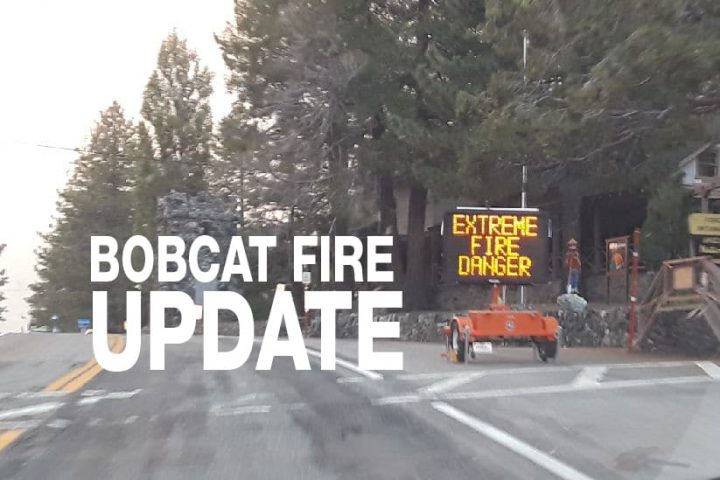
SEPTEMBER 20, 2020 – BOBCAT FIRE EVENING UPDATE 9:00 PM: The Bobcat fire has now burned 103,135 acres, burning almost 4,000 acres today and remains at 15% containment.
In the morning hours spot planes were flying over the fire zone planning for the day air attack. Several choppers were working on the eastern front of the north end of the fire, dozers were busy constructing indirect fire lines and crews were working hard to strengthen existing lines in order to keep the fire from advancing towards the Pinon Hills and Wrightwood areas.
The weather was expected to fuel the fire today and it did beginning around noon. Air attacks began shortly after 11:00 am and phos-chek lines were dropped in the same area as the choppers were working on the northeast side of the fire. The area of the fire burning on the eastern flank in the San Gabriel Wilderness made a push towards Highway 2. Crews are building dozer lines and working on this branch of the fire. It is burning south of Mount Lewis east towards Highway 2 with Grassy Hollow about 6 miles away. The Super Tanker T914 left Sacramento airport, flew to the Palmdale airport where it circled until dispatched into the fire zone. It traveled south meeting up with a leed plane following it to the dope point near Mt. Wilson.
By the early afternoon, things started to pick up, additional choppers were ordered and the Super Scoopers were called up. Additional strike teams were also orders as crews put in for resupply of fire hose and needed equipment to battle the fire.
Incident Command stated that crews will “continue direct and indirect line construction with resources available utilizing pre-existing dozer lines when possible. Provide structure protection when the fire impacts communities.”
They are also projecting the fire “will continue to spread from the foothills into communities of Juniper Hills, Valyermo, and Big Pine. The wind-driven fire will spread downslope with spotting and rapid growth threatening structures. The communities of Littlerock and Wrightwood will be impacted soon. On the east side,
the fire continues to threaten containment lines north of the Ranch 2 fire and threatens the Hwy 39 corridor. Very poor humidity recovery, especially in higher elevation, and warm overnight temperatures will allow the fire to burn actively through the night. Fire activity on the eastside of Mt. Wilson Observatory is threatening all of the values on that peak.”
Evacuation Orders:
- Residences along Angeles Crest Highway, between Angeles Forest Highway and Highway 39.
- The unincorporated areas of Juniper Hills, Devils Punch Bowl, and Paradise Springs.
- The unincorporated areas of Crystal Lake, East Fork of the San Gabriel River, and Camp Williams.
- South of Hwy 138, North of Big Rock Creek, East of 87th St East, and West of Largo Vista Rd.
- South of 138th St. East, North of Big Pine Hwy and Hwy 2, East of Largo Vista Rd., and West of 263rd St. East.
- South of Hwy 138, North of East Ave W-14, East of 155th St East, and West of 165th St. East. (Clear)
Evacuation Warnings:
- City of Pasadena
- Unincorporated communities of Altadena, Pinon Hills and Wrightwood.
- South of Pearblossom Hwy, East and North of Angeles Forest Hwy, North and West of Mt. Emma Rd., East and South of Hwy 122, and West of Cheseboro Rd.
- South of Hwy 2, North of Blue Ridge Truck Trail, East of Hwy 39, and West of the Los Angeles Co. border.
- South of Ave U-8, North of East Ave W-14, East of 121st East, and West of 155th St East.
- South of Pearblossom Hwy (Hwy 138), South and East of Pearblossom Hwy (Hwy 122), North and West of Mt. Emma Rd., North and East of Angeles Forest Hwy, and West of Cheseboro Rd.
- South of Mt. Emma Rd., North of Upper Big Tujunga Canyon Rd., East of Angeles Forest Highway, and West of Pacifico Mountain.