NOTE: NewsPlus will plan on posting two updates an AM and PM update to our website and more if needed. Please follow our Facebook page for any timely updates throughout the day.
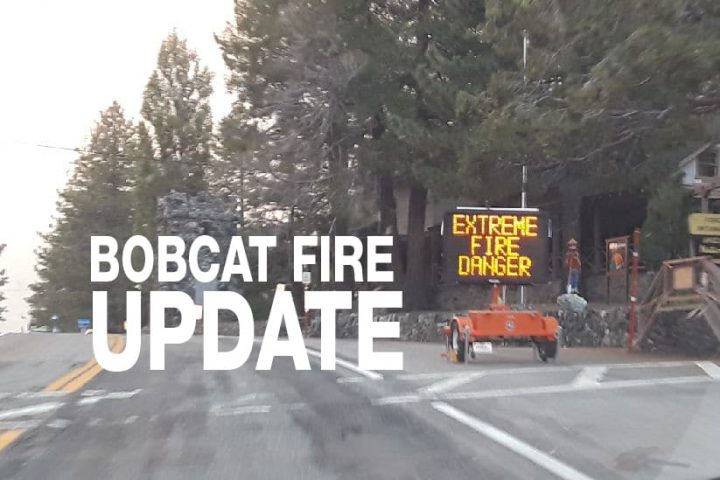
SEPTEMBER 21, 2020 – BOBCAT FIRE Evening UPDATE 10:00 PM: The Bobcat fire has now burned 112,053 acres, burning almost 2,800 acres today and remains at 17% containment. There is 1,556 personnel on the fire, 187 engines, 19 hand crews, 11 helicopters, 20 dozers, 9 water tenders, and numerous aircraft working, including the “Super Scoopers,” on this fire.
My first thought is to call it an uneventful day, but what does that mean? Uneventful meaning that the fire didn’t act up and cause problems, so a good day. But was it a good day when a huge fire is burning thousands of acres per day right at the back door of the communities that we live in. So a bad day? Let’s just say it was a quiet day on the fire. On Sunday I ventured out into the fire and took some pictures of the area around Big Pines Highway and Largo Vista. You can see those pictures HERE.
In the morning hours, air operations were laying down retardant lines in the Mt. Lewis, Big Rock Creek, Dawson Saddle area while dozers were busy cutting indirect and direct lines and hand crews doing the same. By about noon air operations slowed and the choppers continued to drop water on the fire around the northeast. On Pinyon Ridge crews were able to get a line around the fire in Big Rock Creek to stop the forward movement of the fire. They didn’t have good luck firing between the fingers as the weather was not cooperating, bus some success was made. Some of that area may be switching to “patrol status” tomorrow which means crews will be in the area looking for flareups, hotspots and generally mopping up the interior of the fire. The fire continued to burn in the Mt. Lewis, Dawson Saddle area with crews picking up any spot fires that crossed Highway 2.
Tonight engines will be in the desert communities for structure protection and smoke checks. Several calls were received by residents spotting smoke from within the boundaries of the fire. In the northeast, crews will be trying to keep the fire “in the existing footprint.”
Incident command is predicting that the weather tonight and Wednesday through Thursday will be warmer and drier than today. On Saturday they are expecting a “significant warming and drying trend” with the possibility of northeast winds.
All San Bernardino County residents are encouraged to sign up for the TENS alert system to get notifications via phone/text or to download the Ready SB App.
Evacuation Orders:
- South and West of Upper Big Tujunga.
- East of Angeles Forest Hwy.
- North of Angeles Crest Hwy.
- Residences along Angeles Crest Highway, between Angeles Forest Highway and Highway 39. – The unincorporated areas of Juniper Hills, Devils Punch Bowl, and Paradise Springs.
- The unincorporated areas of Crystal Lake, East Fork of the San Gabriel River, and Camp Williams.
- South of Hwy 138, North of Big Rock Creek, East of 87th St East, and West of Largo Vista Rd.
- South of 138th St. East, North of Big Pine Hwy and Hwy 2, East of Largo Vista Rd., and West of 263rd St. East. – South of Hwy 138, North of East Ave W-14, East of 155th St East, and West of 165th St. East.
Evacuation Warnings:
- City of Pasadena
- Unincorporated communities of Altadena, Pinon Hills, and Wrightwood.
- South of Pearblossom Hwy, East and North of Angeles Forest Hwy, North and West of Mt. Emma Rd., East and South of Hwy 122, and West of Cheseboro Rd.
- South of Hwy 2, North of Blue Ridge Truck Trail, East of Hwy 39, and West of the Los Angeles Co. border.
- South of Ave U-8, North of East Ave W-14, East of 121st East, and West of 155th St East. (Longview)
- South of Pearblossom Hwy (Hwy 138), South and East of Pearblossom Hwy (Hwy 122), North and West of Mt. Emma Rd., North and East of Angeles Forest Hwy, and West of Cheseboro Rd. (Emma)
- South of Mt. Emma Rd., North of Upper Big Tujunga Canyon Rd., East of Angeles Forest Highway, and West of Pacifico Mountain
- Littlerock: East of Cheseboro Road, South of Pearblossom Hwy, North of Weber Ranch Rd, West of 87th St E.